New Zealand South Island
Thursday 7 January 2016
In memory of Izzy
'
We just visited New Zealand for the first time, exploring by car and on foot. It's a very easy place to love, with stunning scenery that's so accessible, at least once we'd made the long journey south. For anybody from the UK there's a certain familiarity to some of the culture and even countryside, but it's different enough to make things interesting.
All these photos were taken with a Nikon D7200 and the new 16-80mm lens. Before I left I thought long and hard about bringing more camera equipment, but photography wasn't the top priority for the trip. I'm happy with the results - although on several occasions a longer lens would have been great for the wildlife.
The South
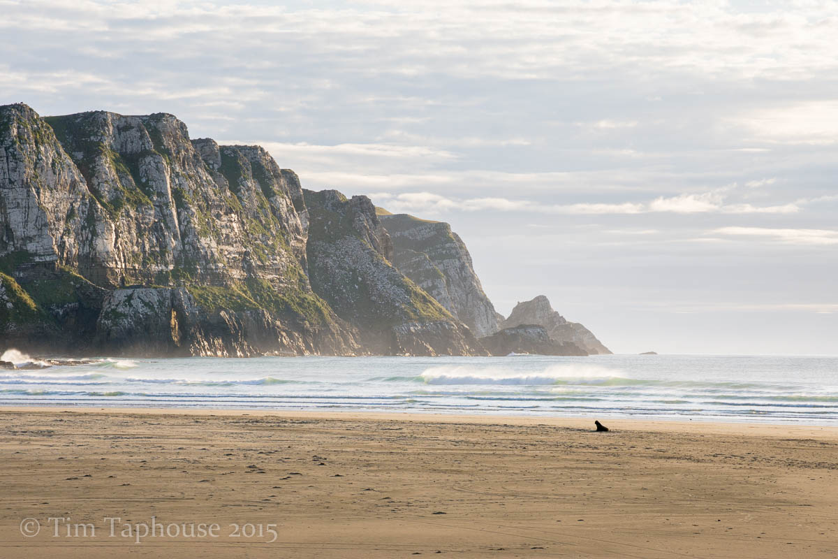
We roughly followed the Southern Scenic Route through the Catlins, a delightful drive with plenty of stops for gentle walks along beaches and to waterfalls. There aren't too many people - local or tourists - down this part of the world.
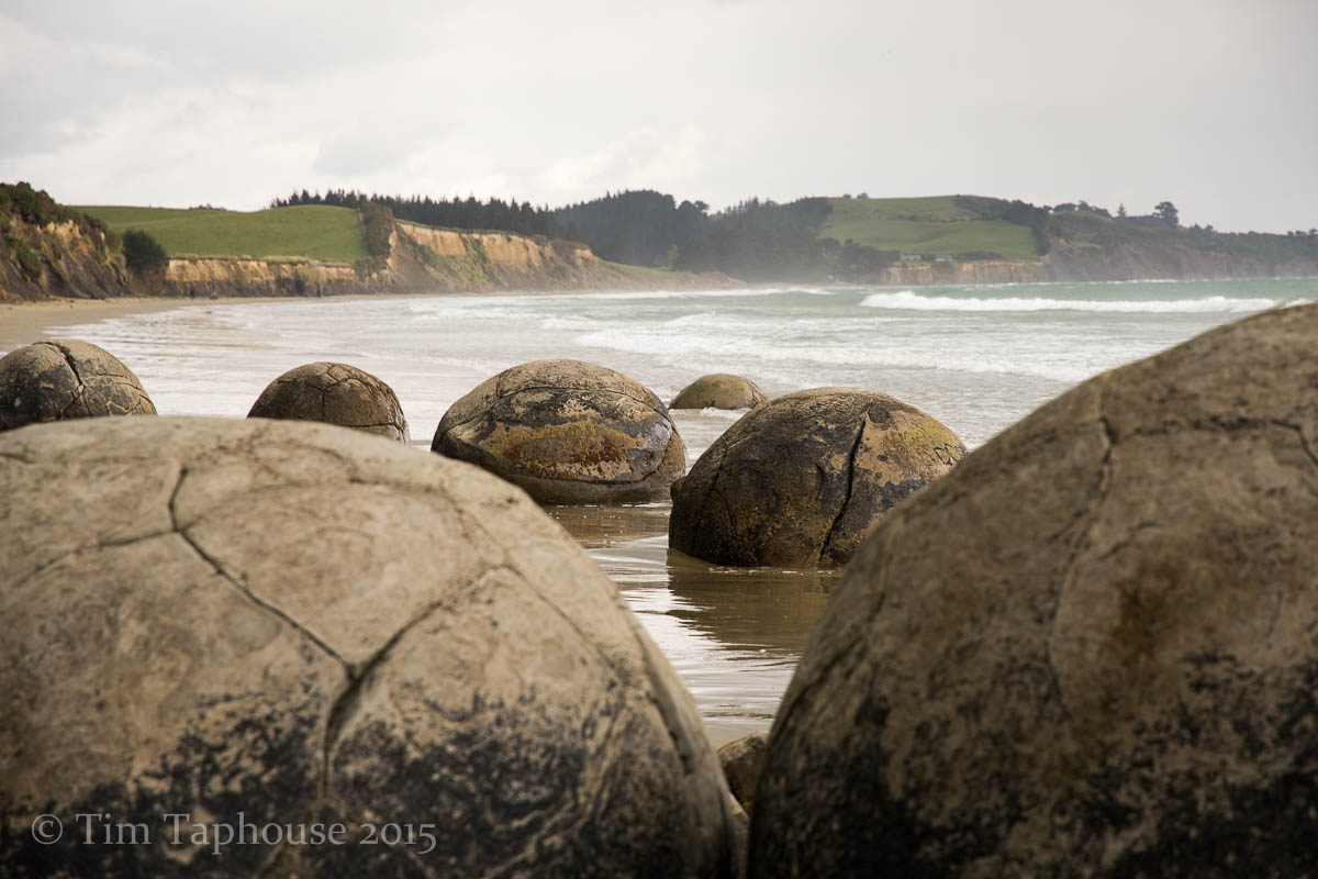
Moeraki boulders
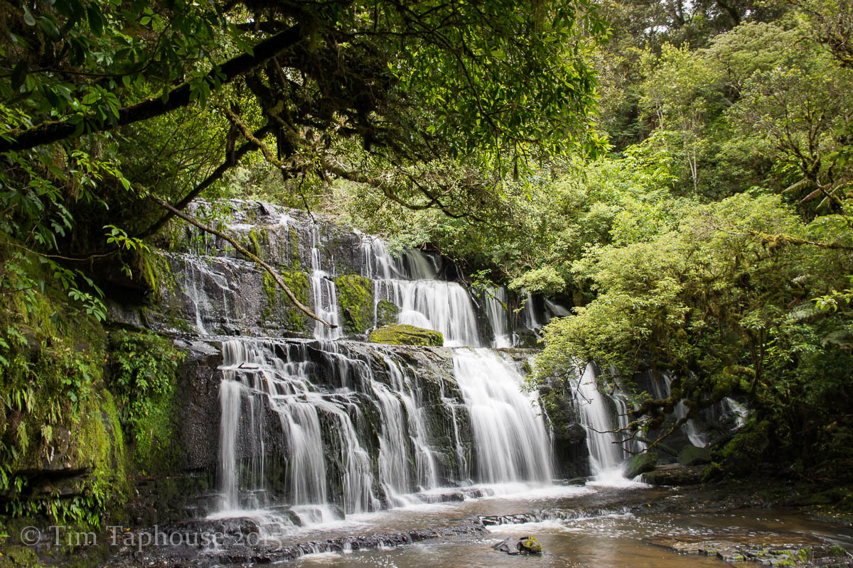
Purakaunui Falls
Purakaunui Bay - a stunning place to wake up (DOC camping)

Lake Wilkie
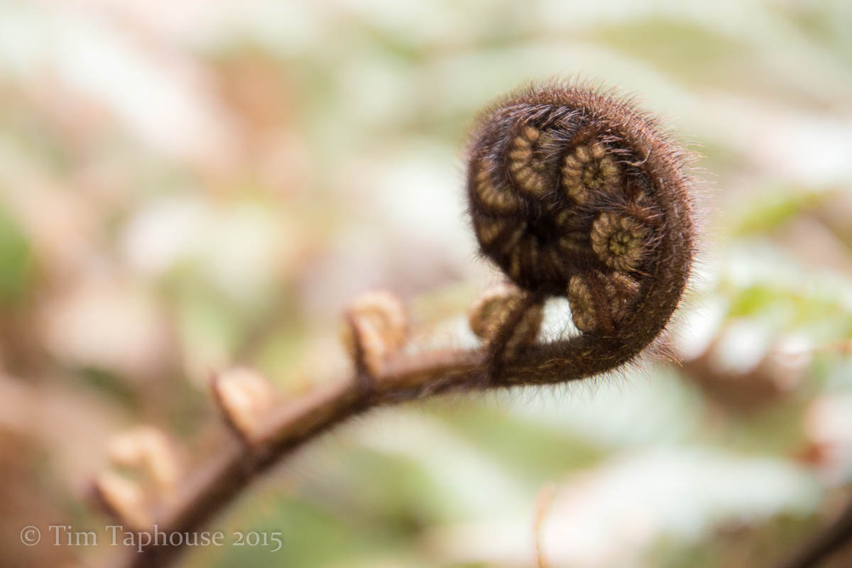
Unfurling fern
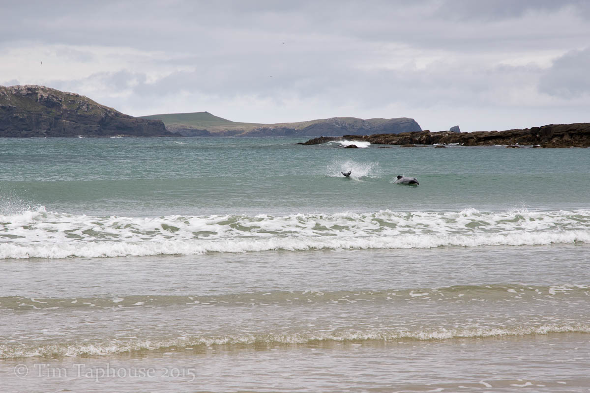
Hector dolphins surfing in Porpoise Bay
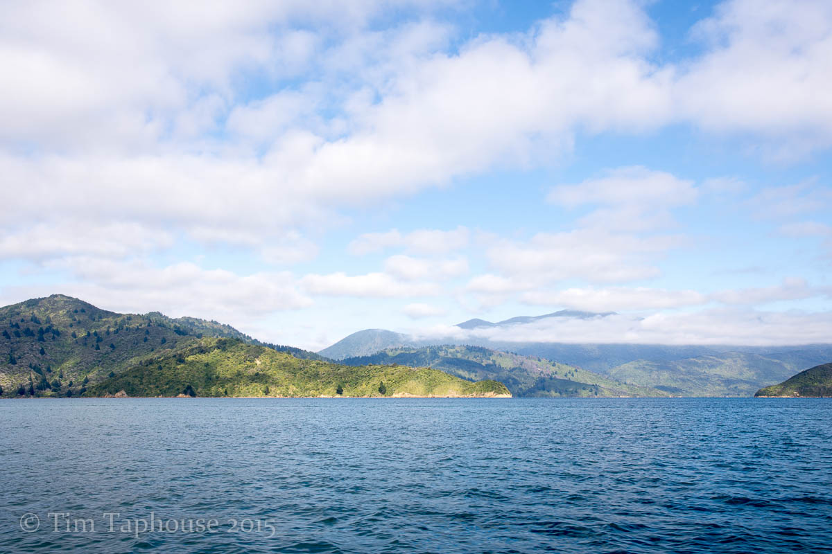
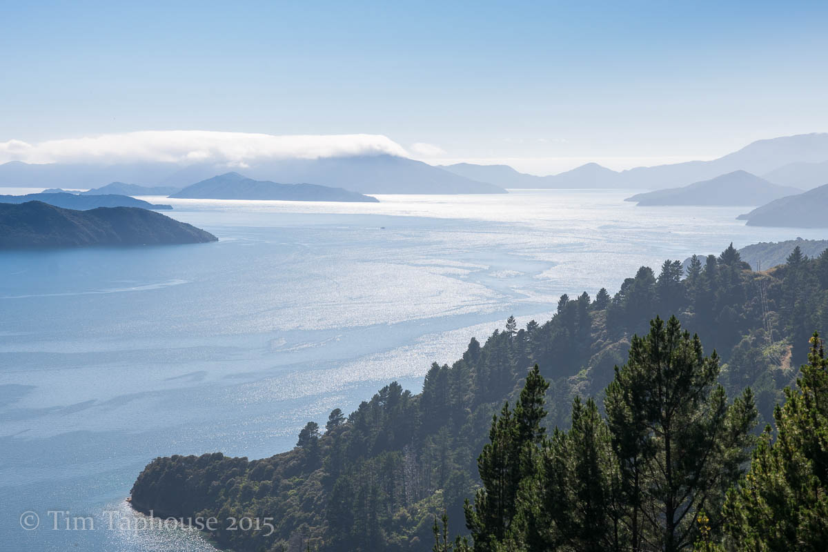
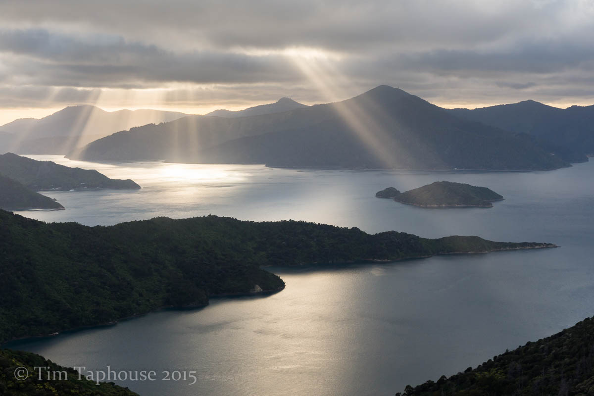
The Sounds
This is one of the wettest places on the Earth, although we escaped with only some light rain and plenty of cloud. Nonetheless both Doubtful and Milford Sounds are enchanting places. If we'd had more time then exploring them slowly by kayak would have been wonderful - instead we took a cruise on Doubtful sound. Next morning we got up early to get ahead of the traffic and briefly visited Milford Sound, stopping off several times during the scenic drive there and back.
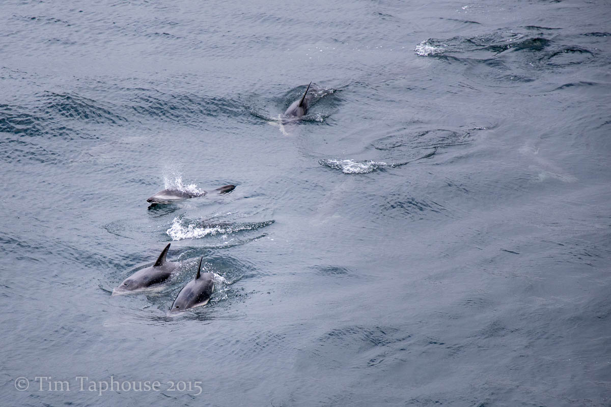
Dusky dolphins in Doubtful Sound
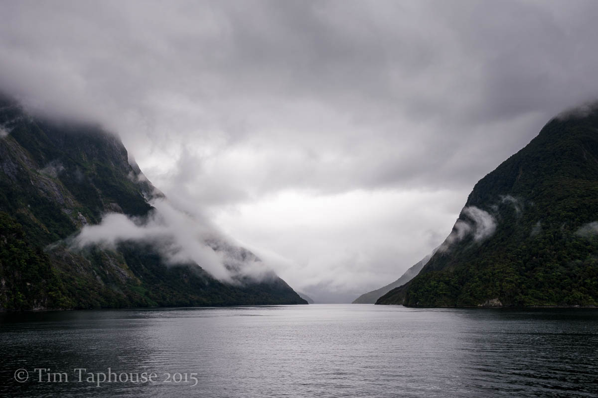
Doubtful Sound
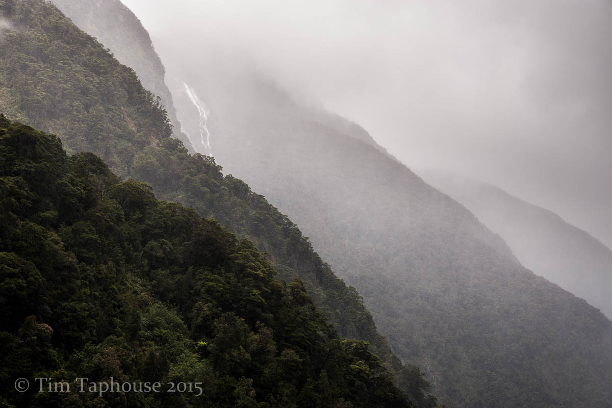
Starting to rain in Doubtful Sound
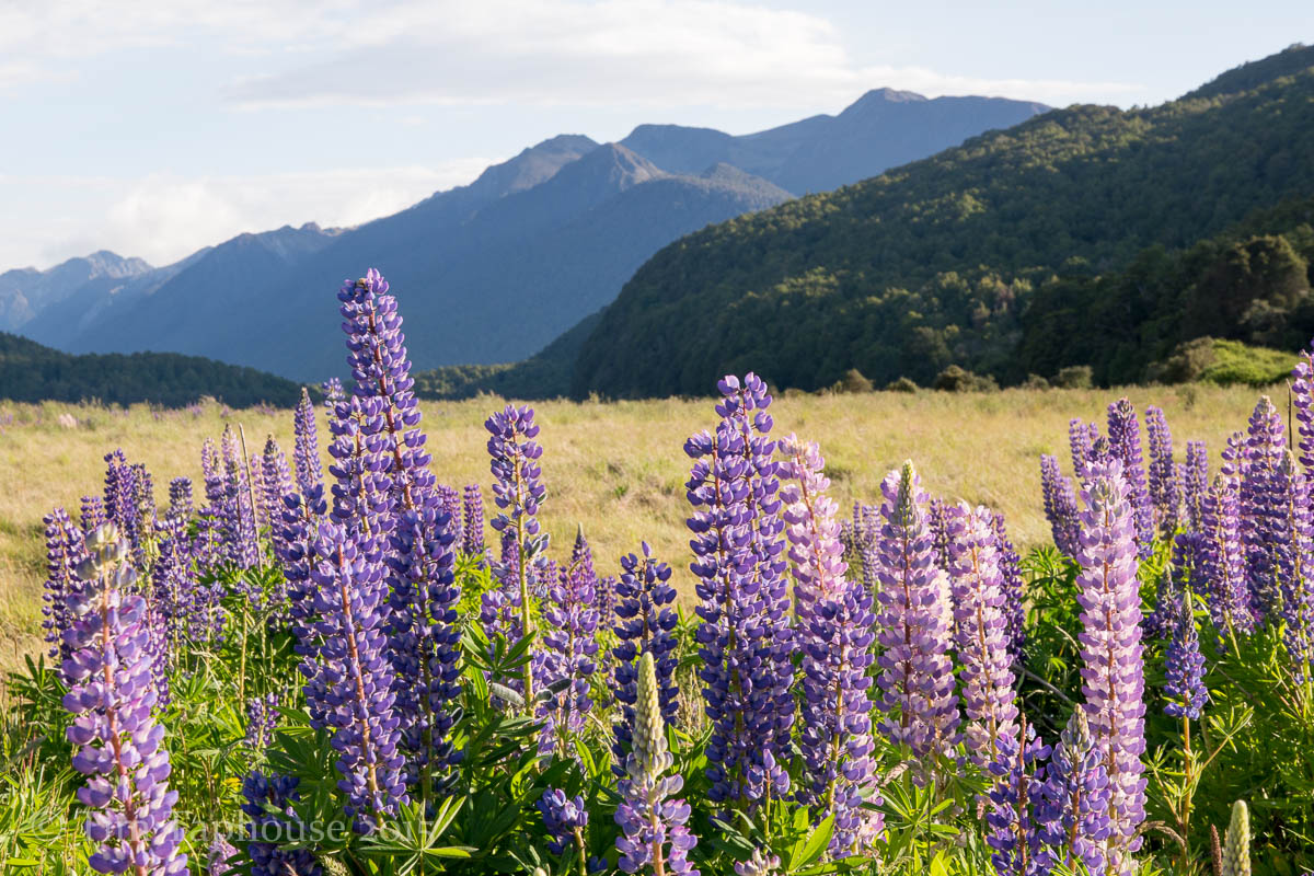
Lupins near the road to Milford Sound

Milford Sound
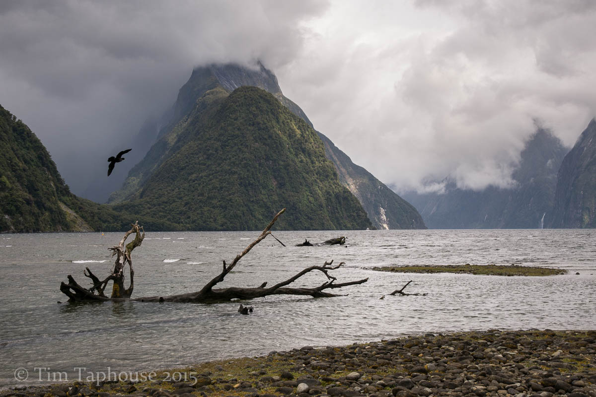
Mitre Peak remained in cloud
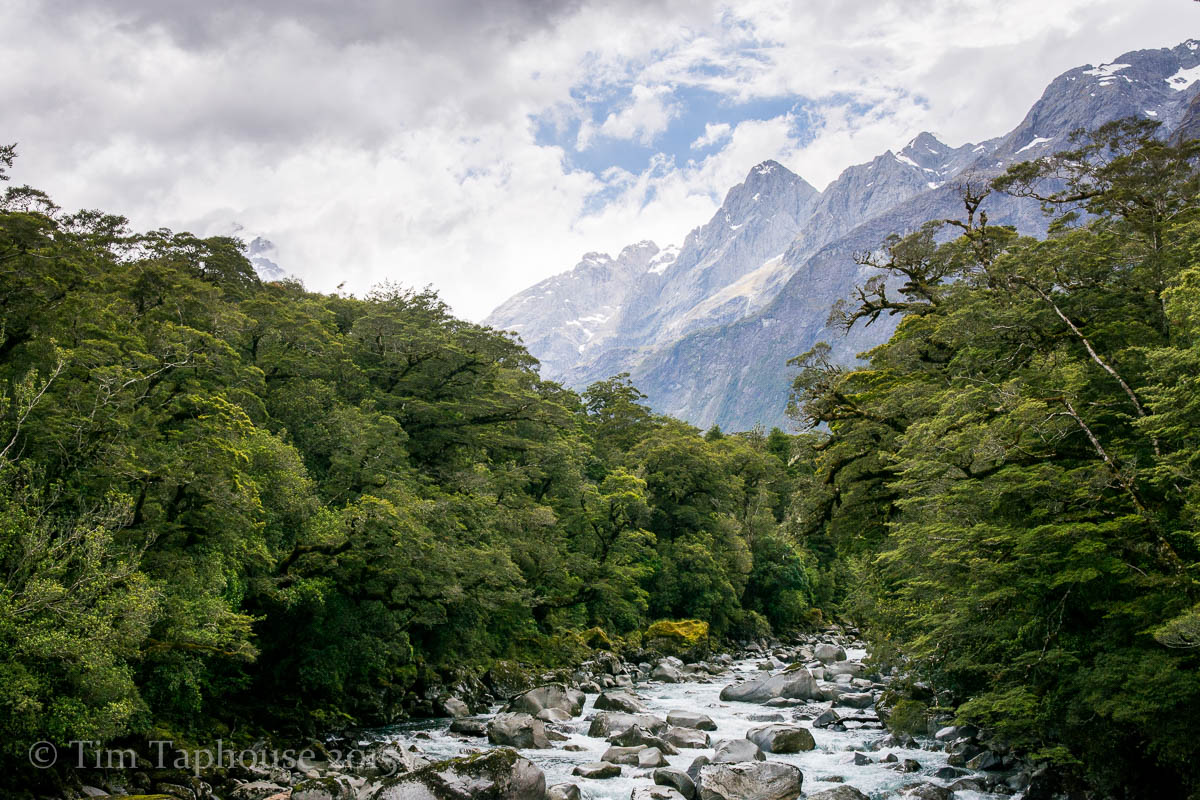
From Tutoko Suspension Bridge
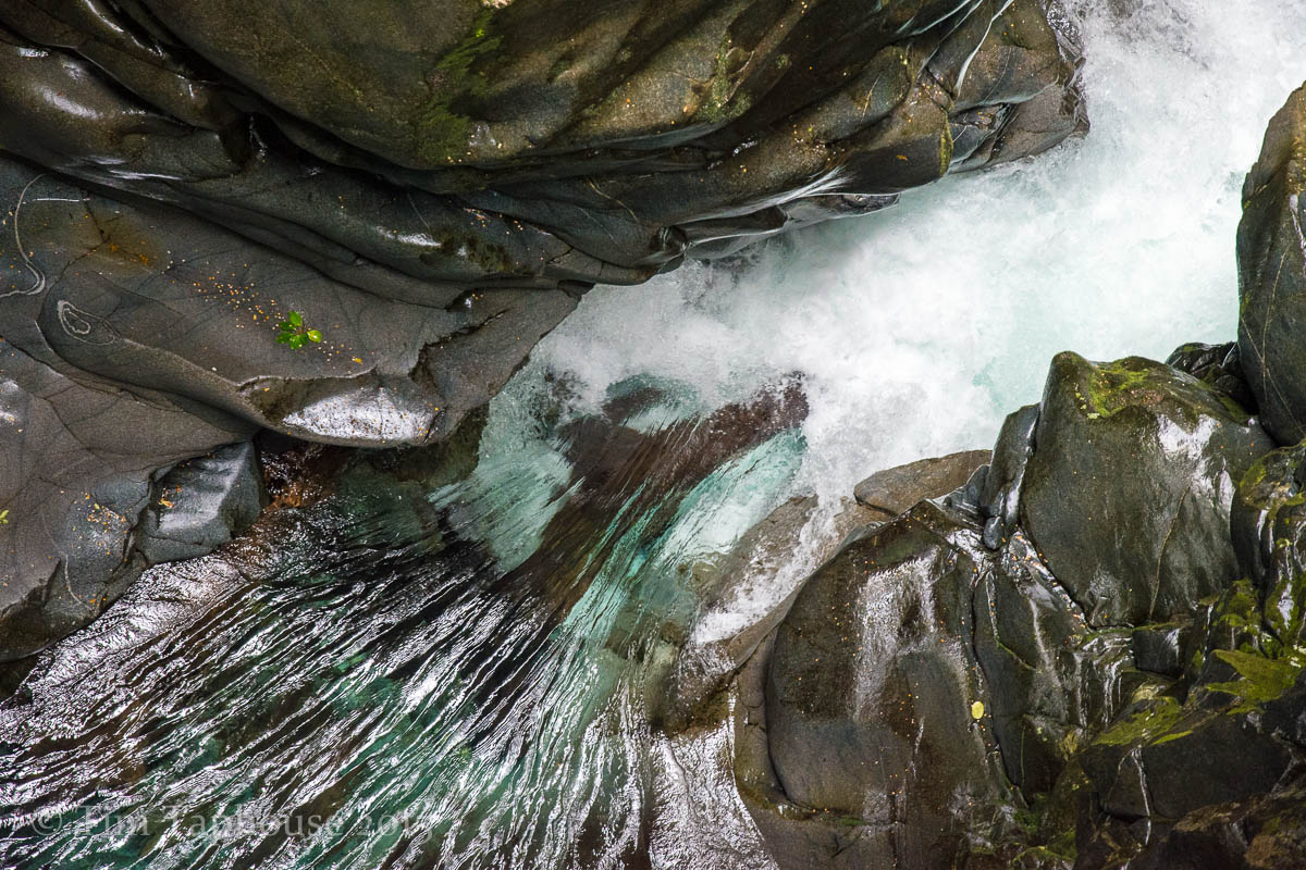
The Chasm - a great viewpoint from a bridge above a powerful river gorge
Routeburn Track
The Routeburn track is justifiably famous and needs booking well in advance to reserve accommodation. We only booked a couple of months ahead and consequently had two short days and one very long day, heading from the Divide to Routeburn Shelter. Fortunately the weather on the long day turned sunny and beautiful, giving us fine alpine views as we climbed out of the amazingly lush rainforest. We used the excellent Trackhopper service to transfer our car so it was waiting for us when we were done - the track is only 32km from end to end by foot but over 300km by road!
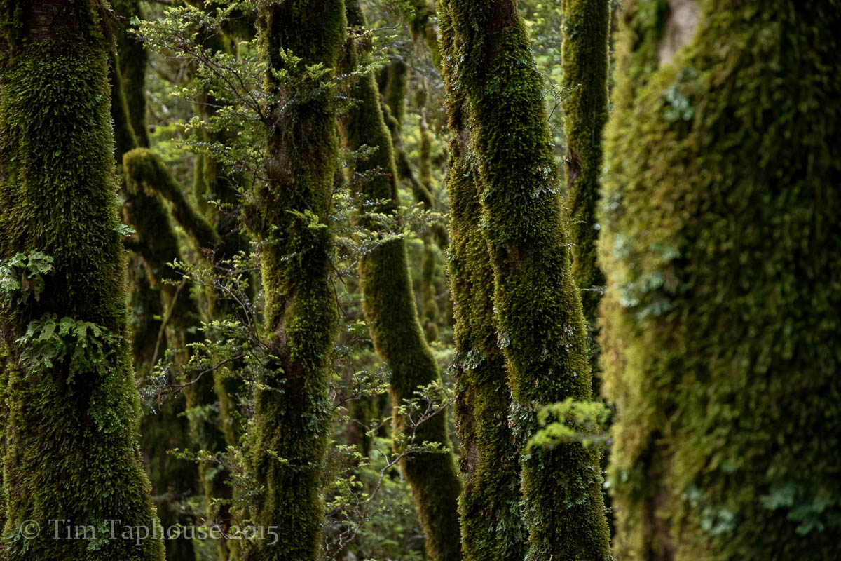
Lush rainforest near the Divide, with the trees coated in thick moss
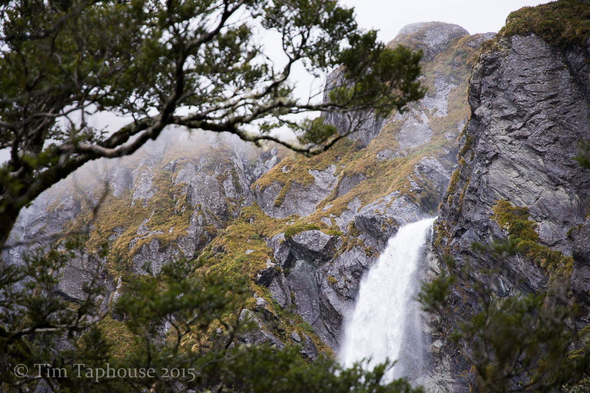
Earland Falls
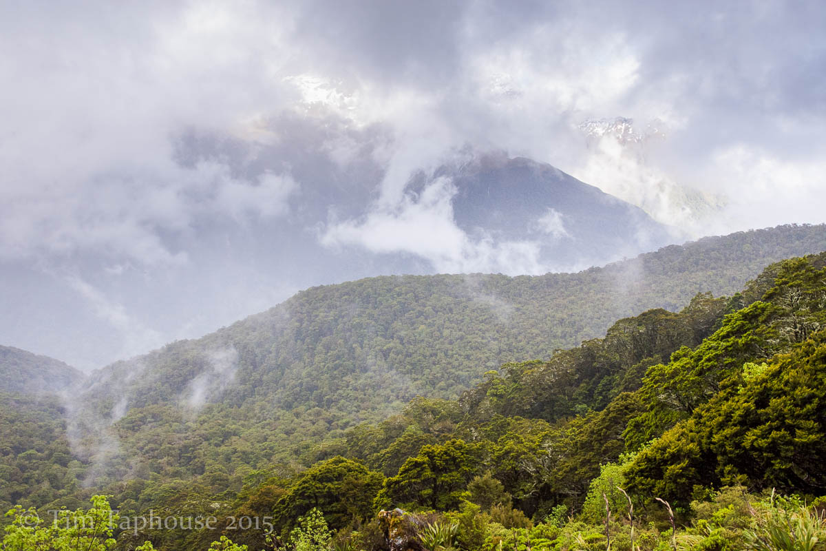
The clouds begin to lift
Higher up, the trees are covered in incredible lichen
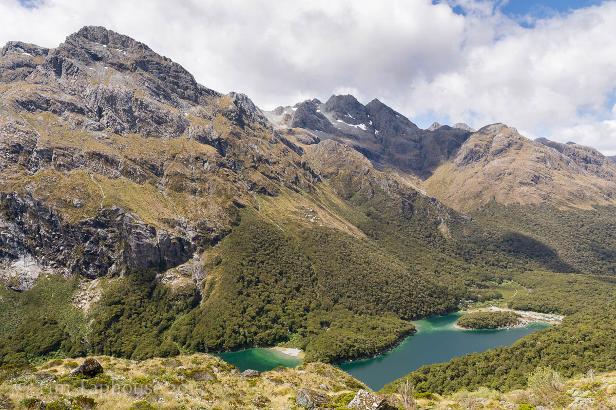
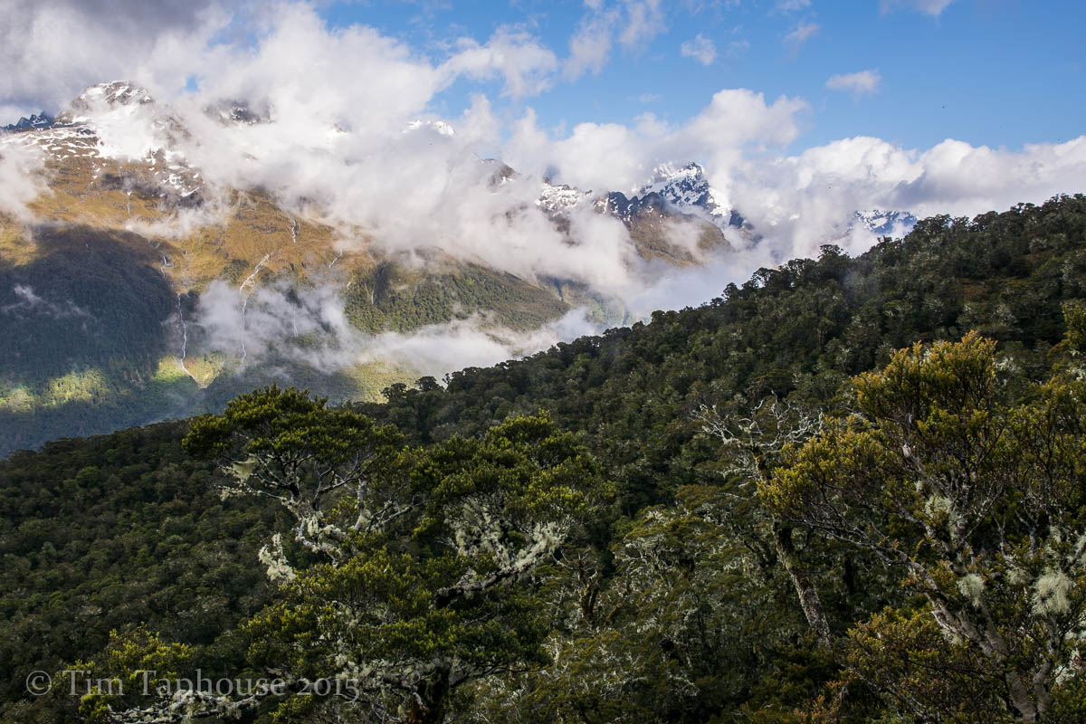
Above Lake Mackenzie
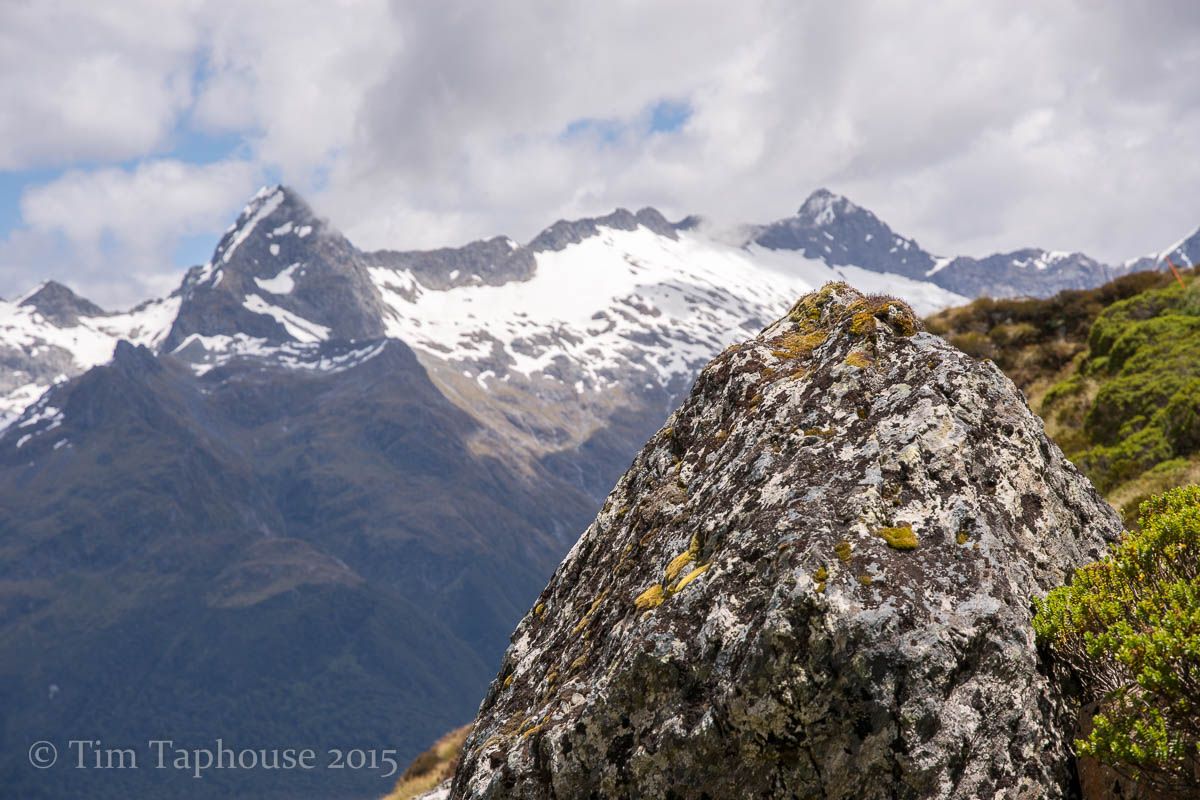
Near Harris Saddle
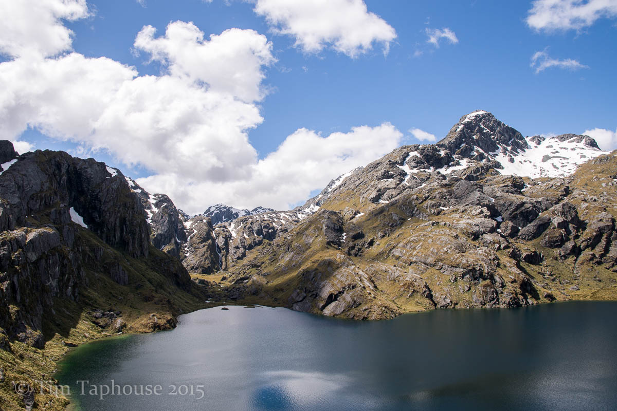
Lake Harris
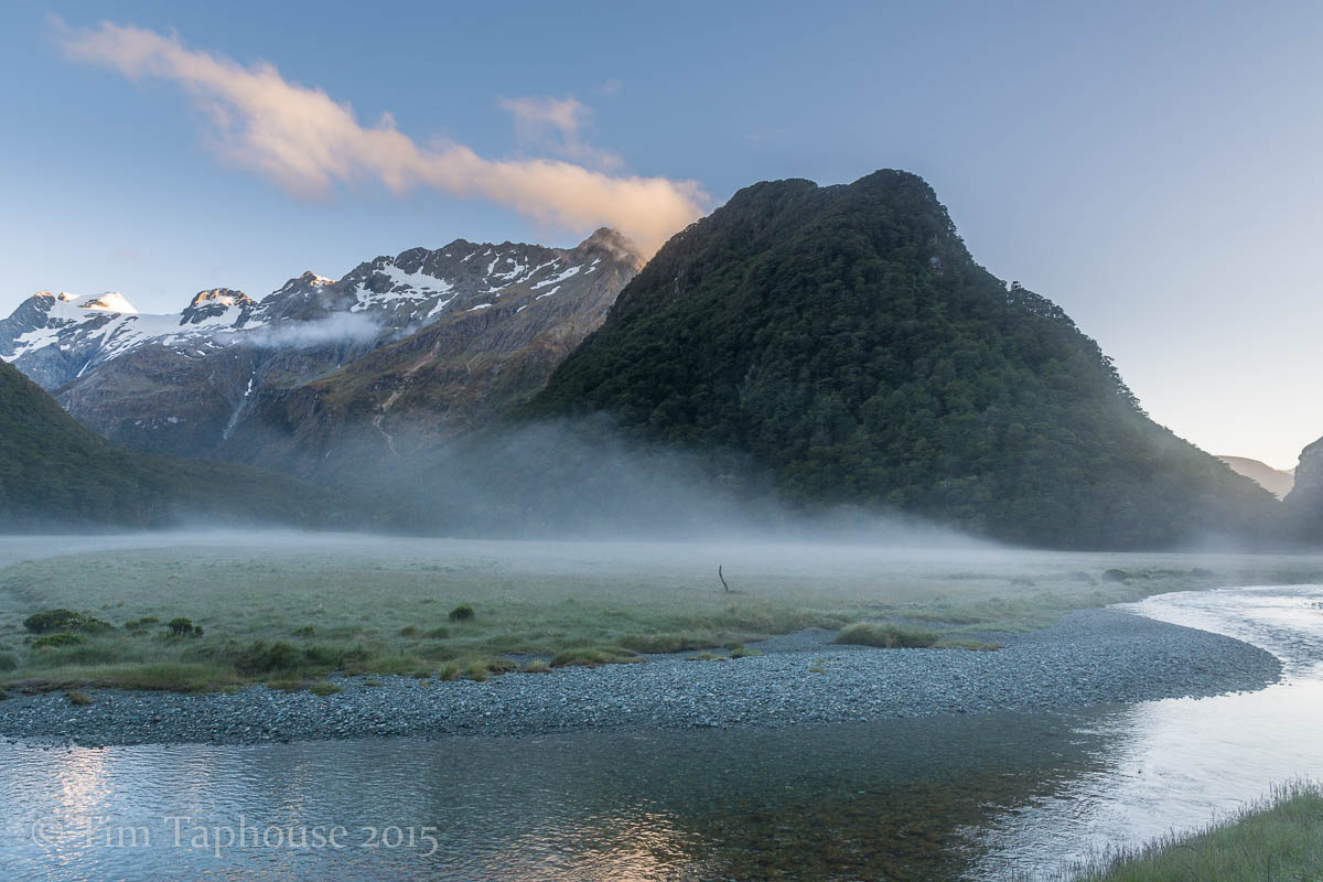
Routeburn Flats campsite. A stunning, if chilly place to wake up - there was ice on our tents
Heading North
A few highlights of the drive up from Queenstown to Picton
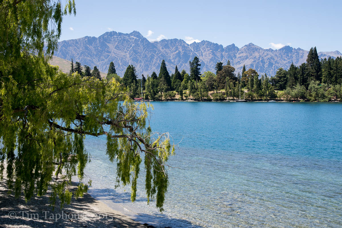
Queenstown
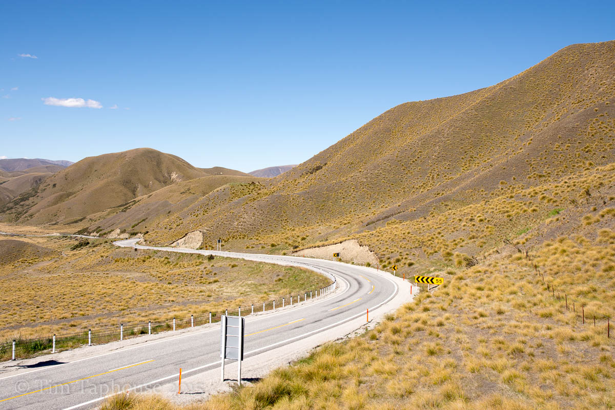
Lindis Pass
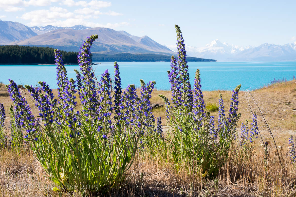
Lake Pukaki and Mount Cook
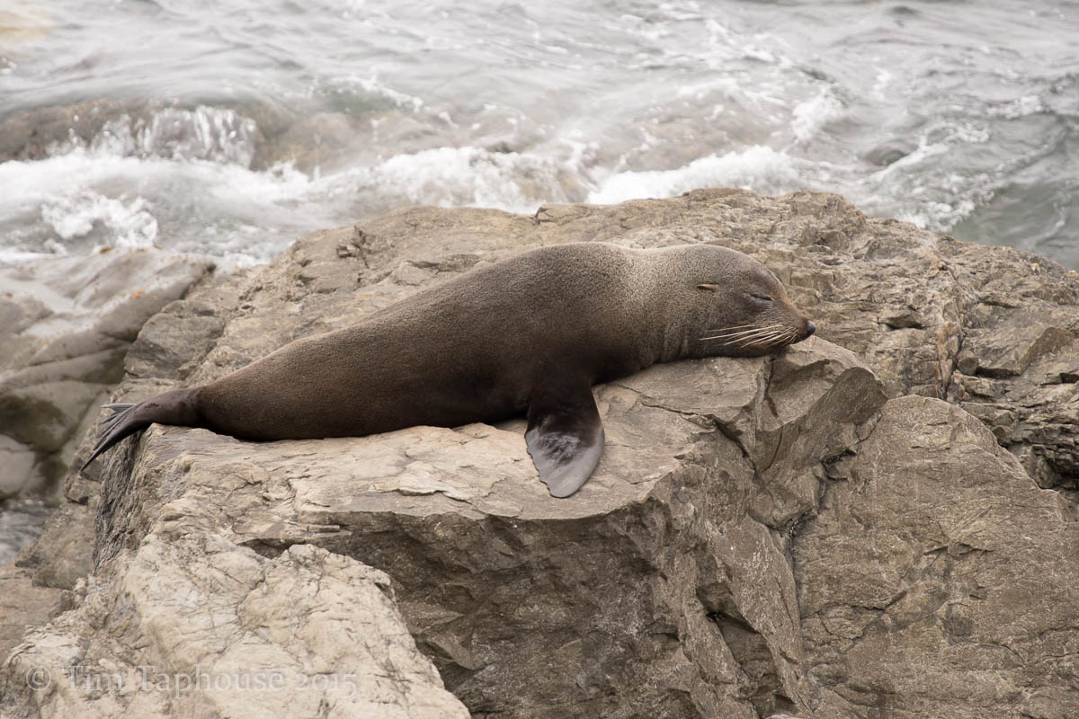
Fur seal at Kaikoura
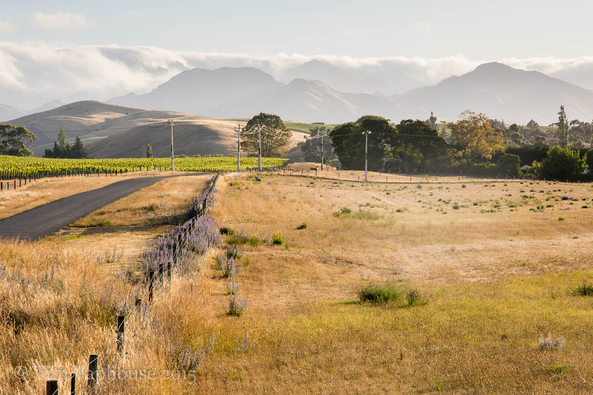
Wine country near Blenheim
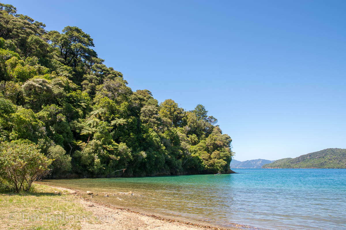
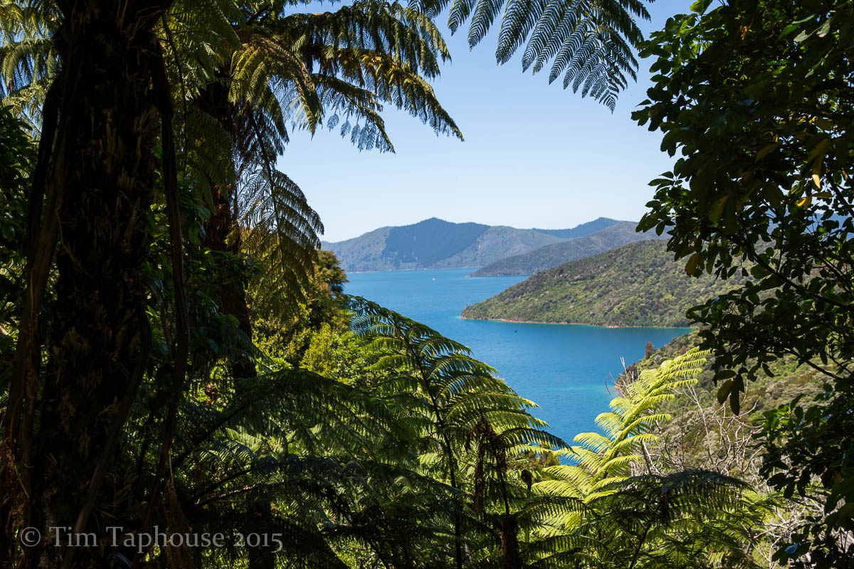
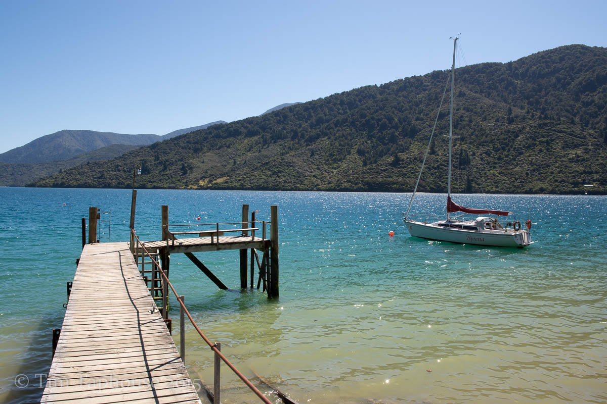
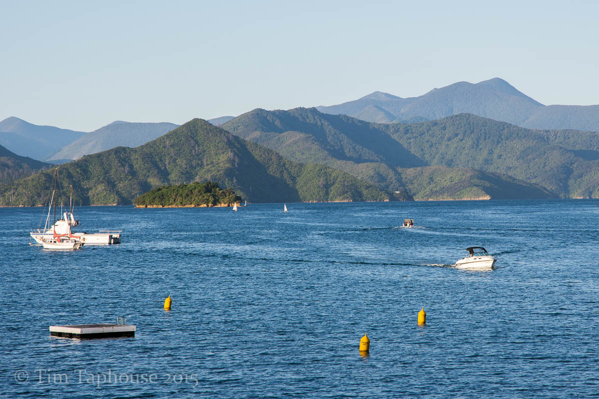
Queen Charlotte Track
A long walk of 72km over three days, made much easier as our big bags with camping gear were transferred by boat for us - an excellent service by Beachcomber cruises. As it was hot and fairly hilly in places, we enjoyed some refreshing swims in the beautiful sea.
Looking up to the hills we'd soon be walking
Schoolhouse Bay
Tempting views down to the sea
Back down at sea level
Up high on the second day
Sun breaking though the clouds on the third day
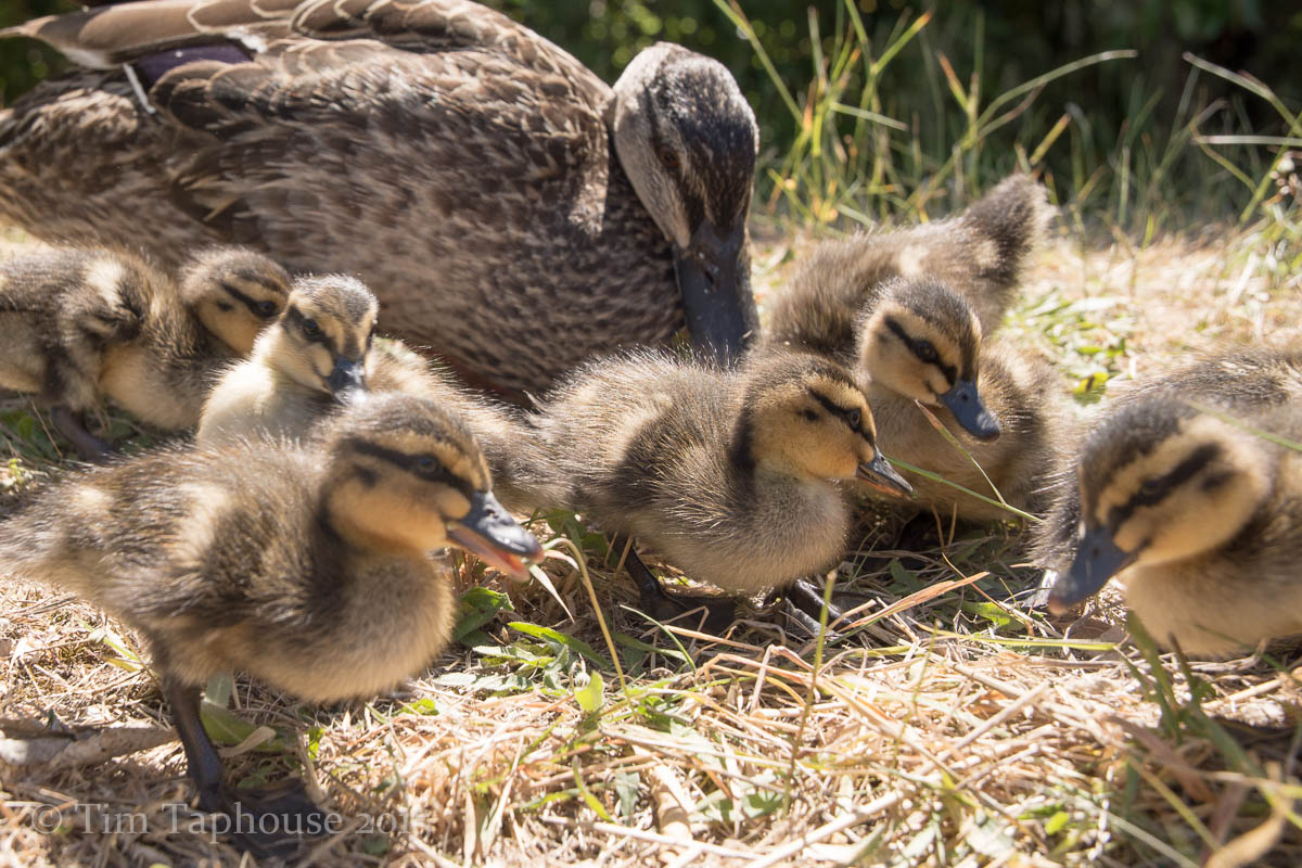
The most friendly duck and ducklings I've ever seen
Back in Picton, admiring the skyline we'd just walked
The West Coast
This was my favourite section of New Zealand - stunning sea and rainforest, with a backdrop of the Southern Alps with their glaciers.
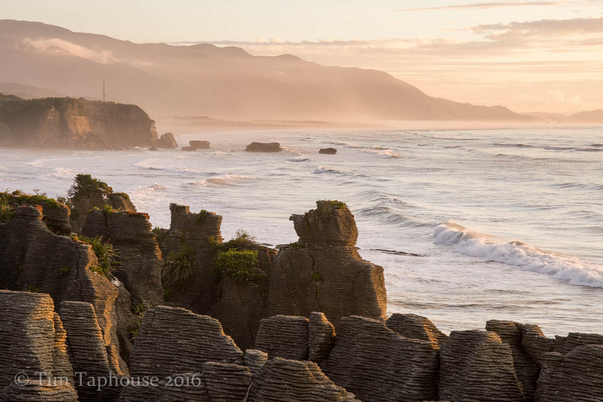
Pancake rocks, Punakaiki
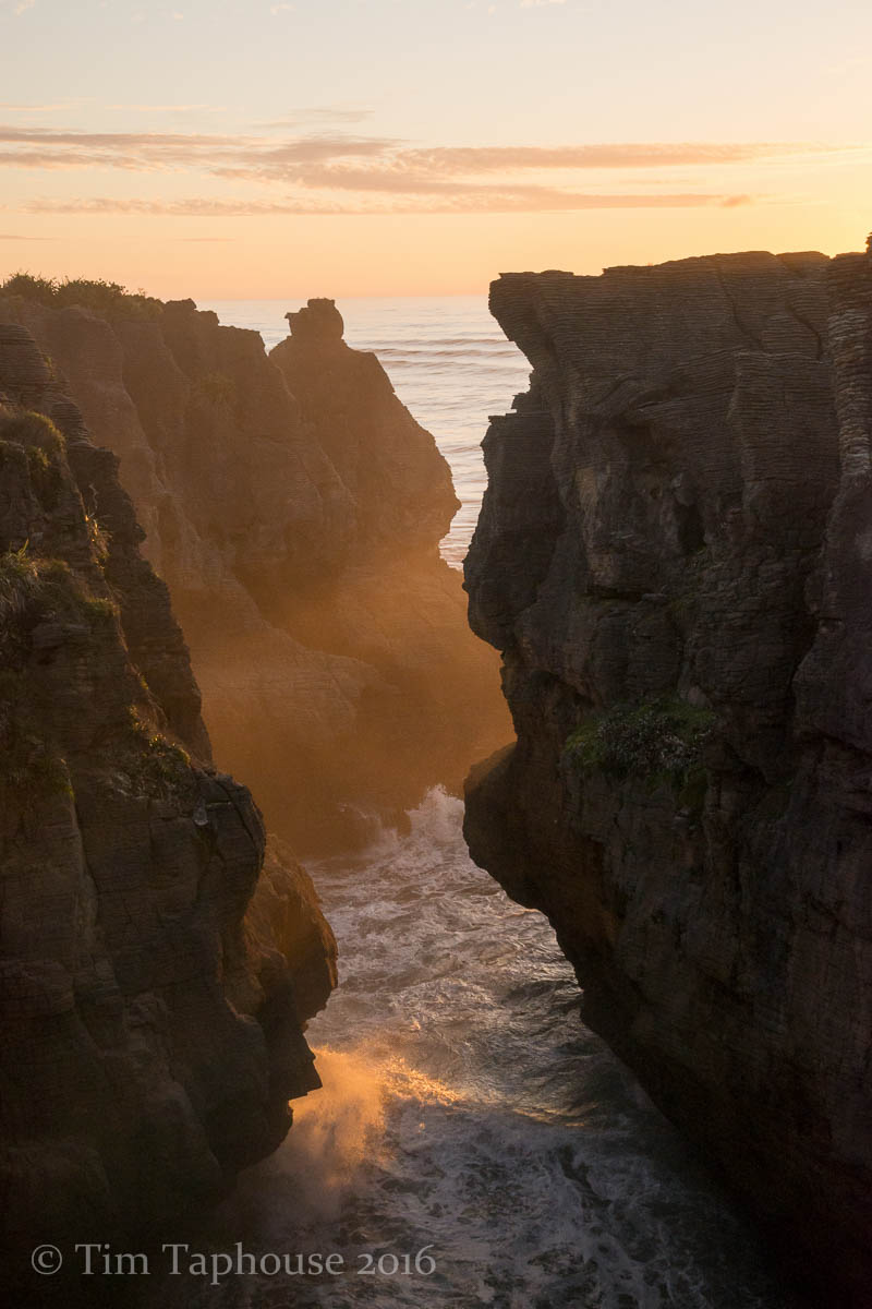
Wild seas at Pancake rocks, Punakaiki
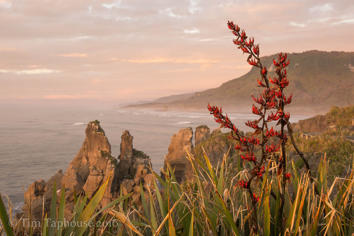
Flax at Punakaiki

Porarari River
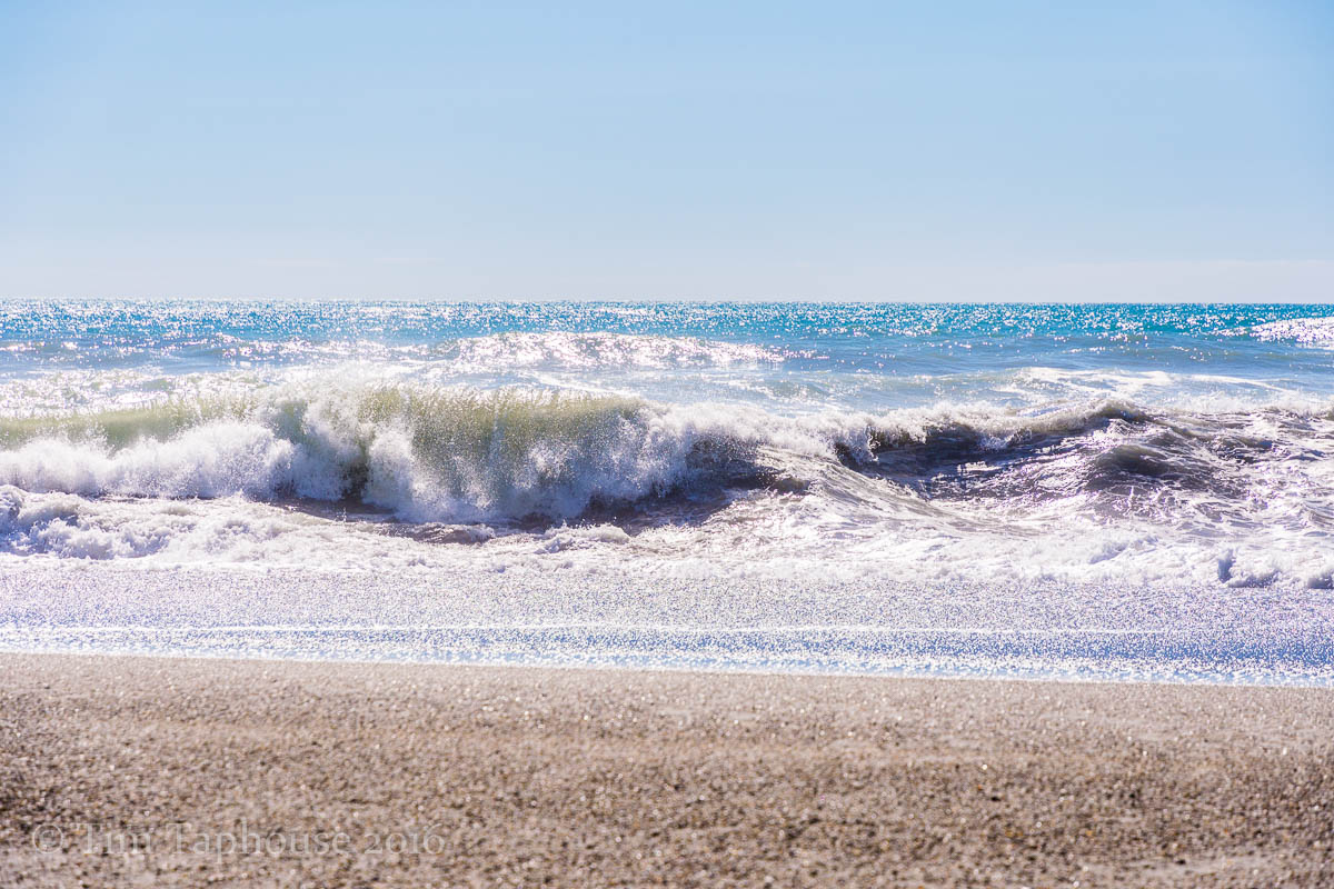
Wild Tasman Sea
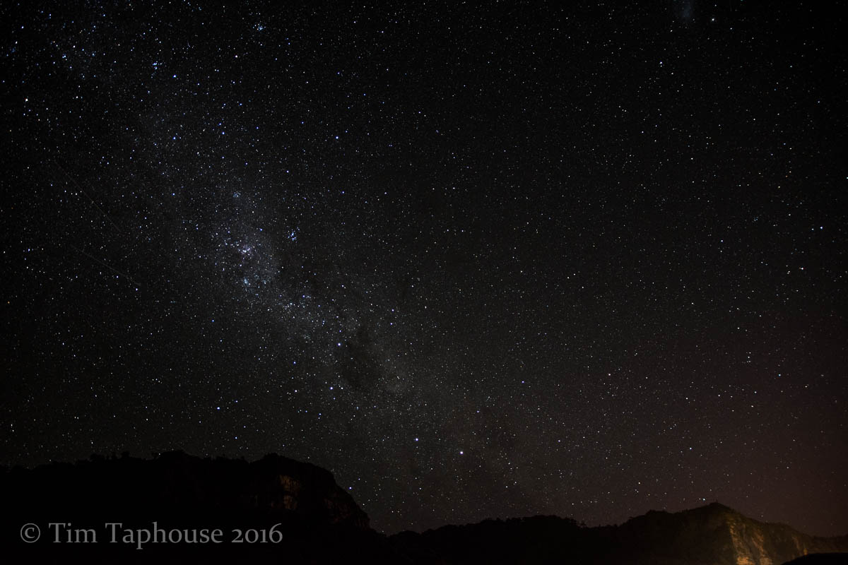
Milky Way from Punakaiki
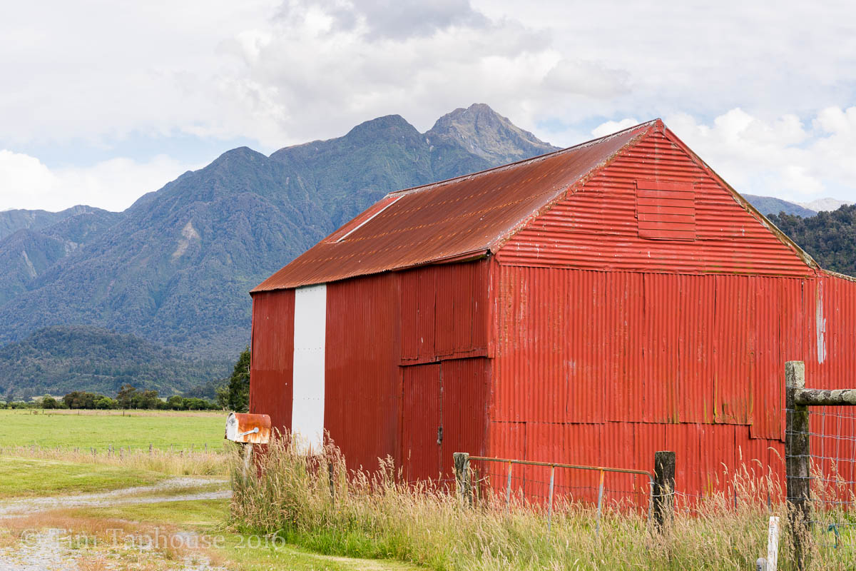
Farm building near Lake Kaniere
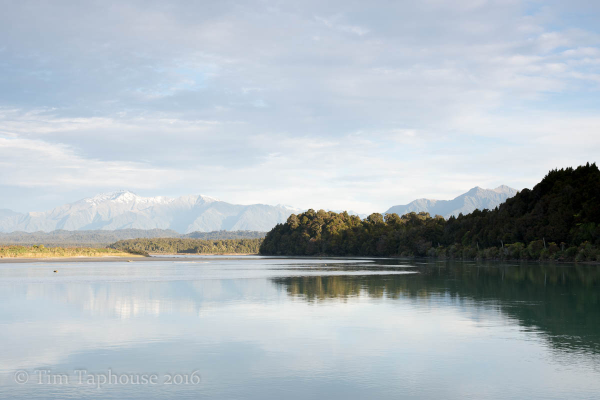
Ōkārito Lagoon
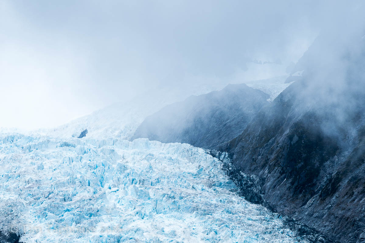
Franz Josef glacier from Roberts Point
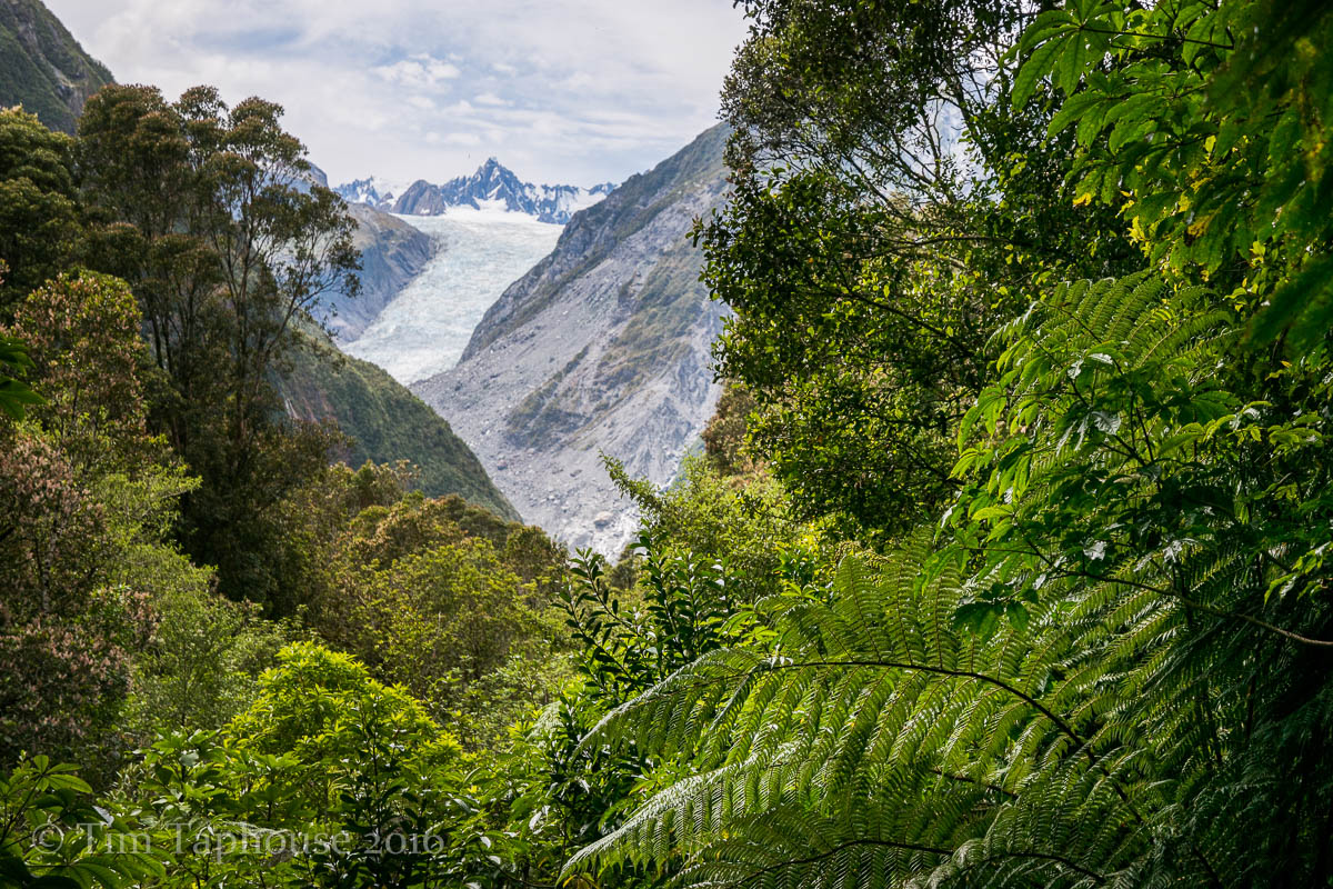
Fox Glacier, viewed through the rainforest
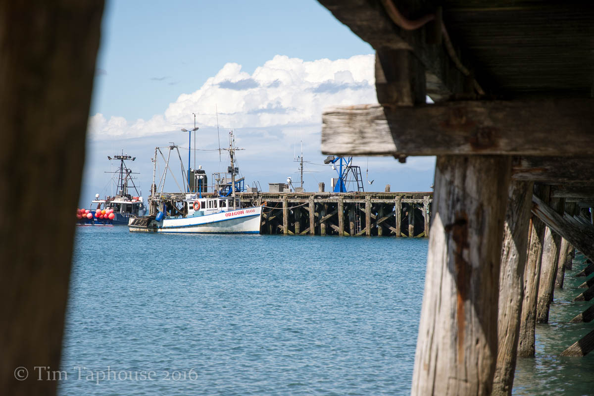
Fishing boat at Jackson Bay

Dust storm blowing down from the Southern Alps
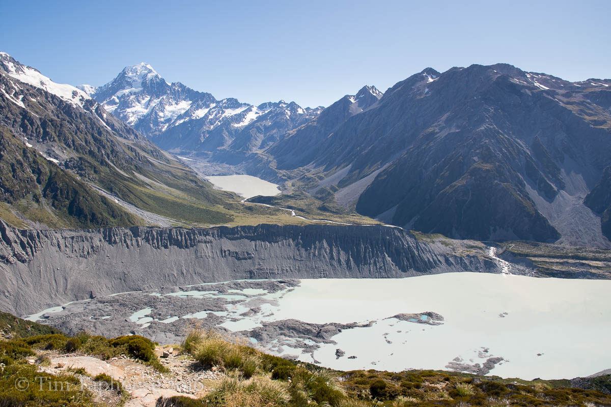
Mount Cook
We were lucky to see Mount Cook without clouds, the snowy peak dominating the surroundings.
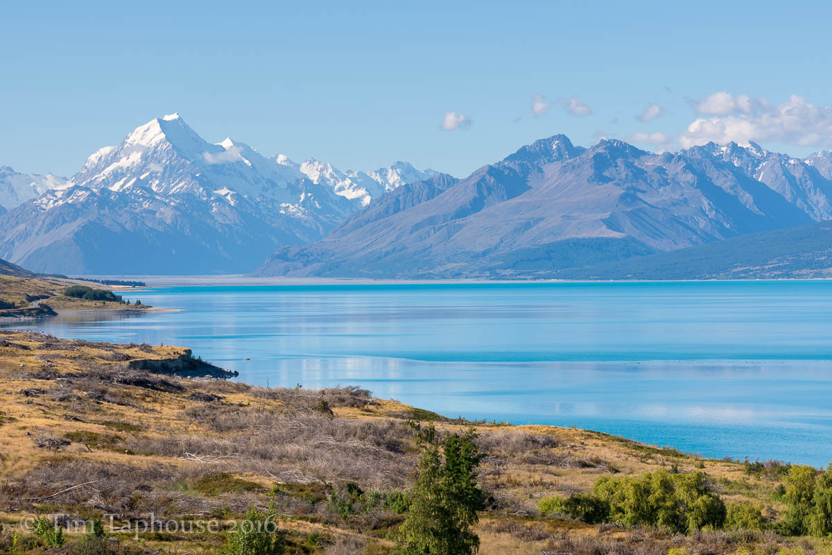
The incredible blue of Lake Pukaki and Mount Cook
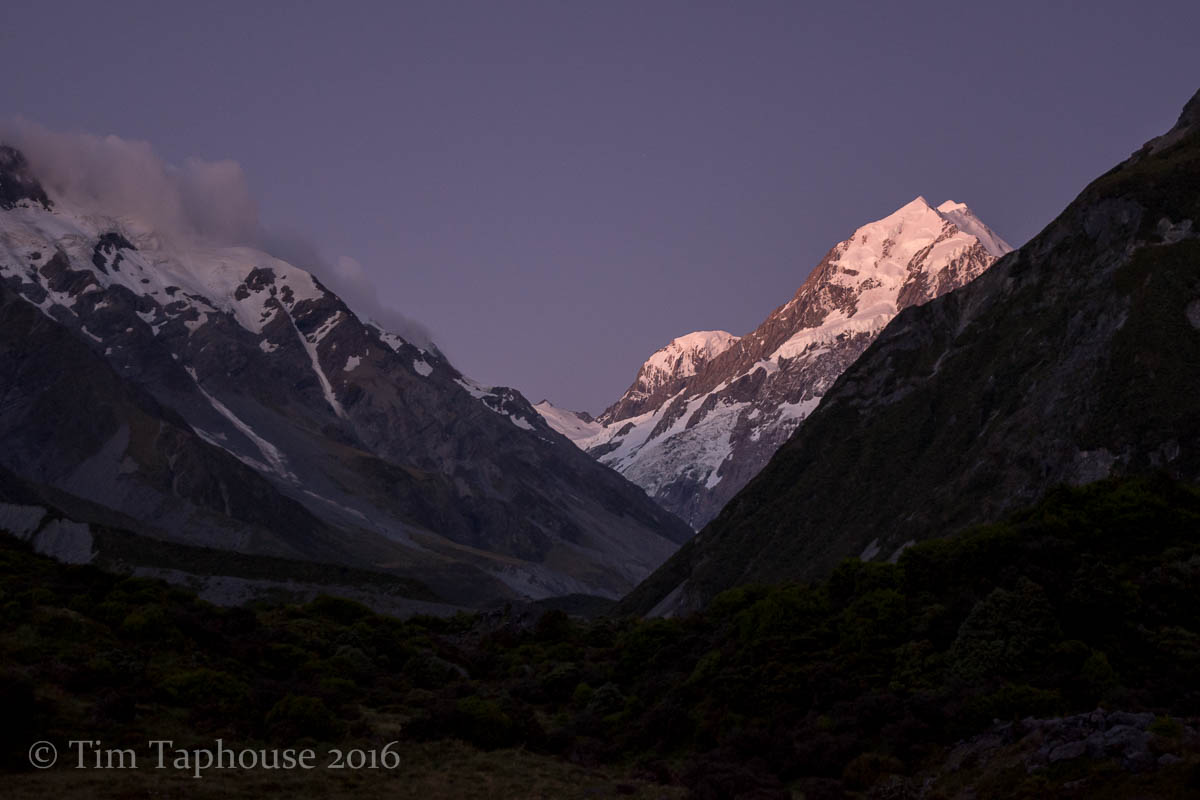
Twilight colours on Mount Cook
Mount Cook and glaciers from the Sealy Tarns Track
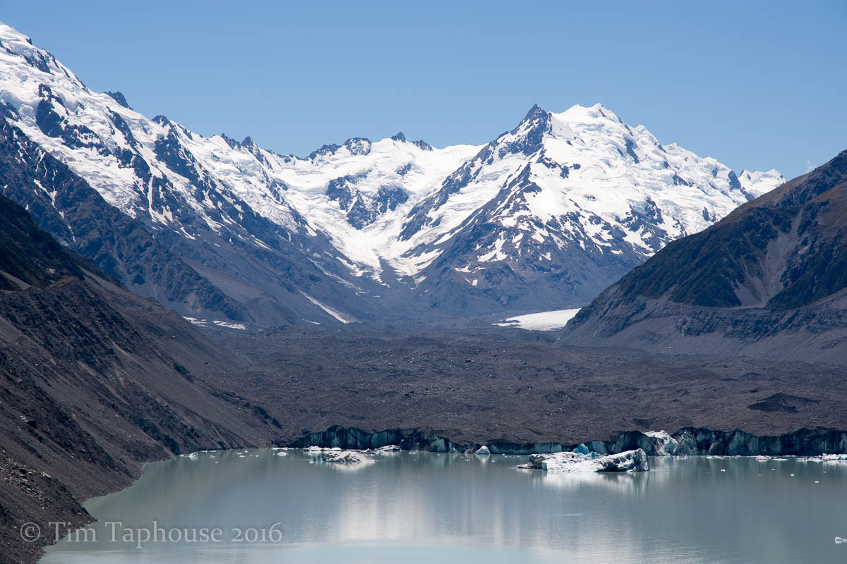
Tasman Glacier with iceburgs in the lake
Christchurch
After so long in the countryside, a quick visit to the city of Christchurch, still a construction zone after the earthquake.
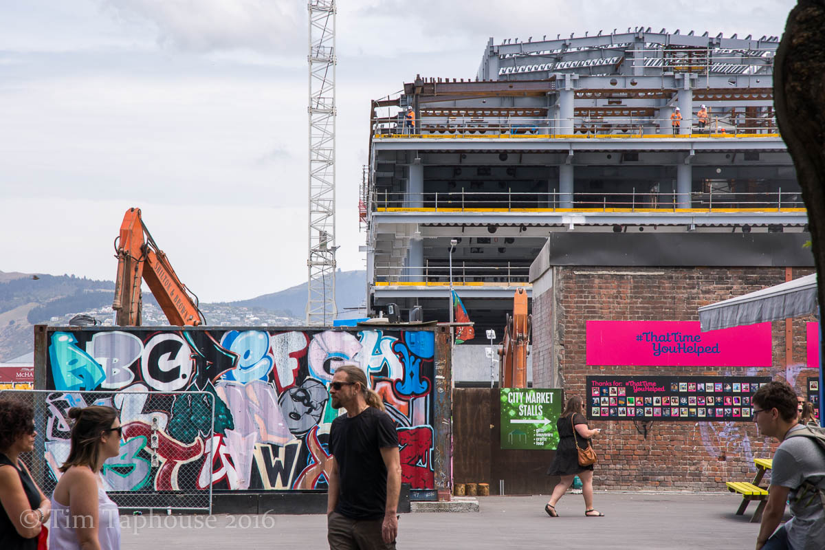
Rebuilding Christchurch
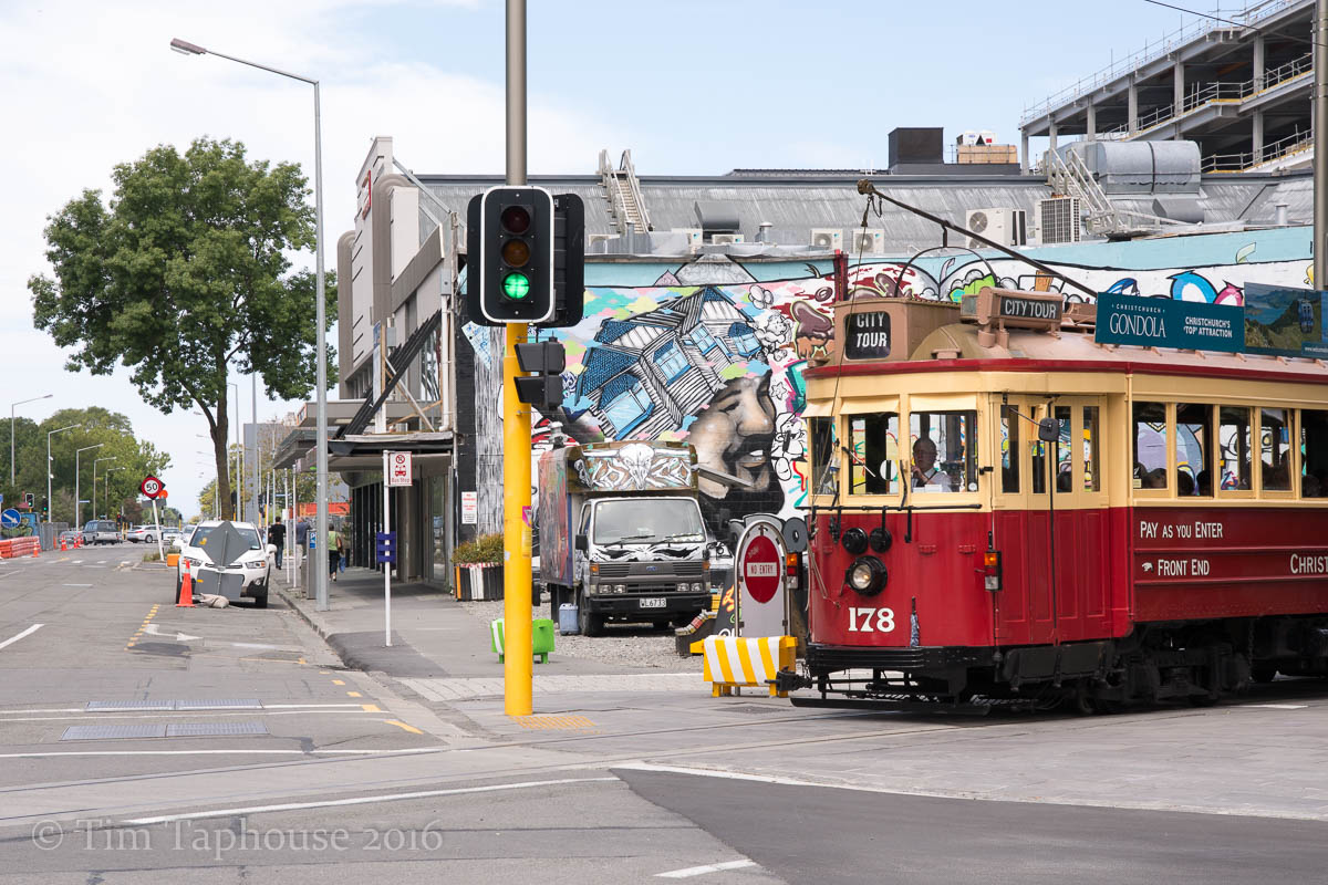
Tram
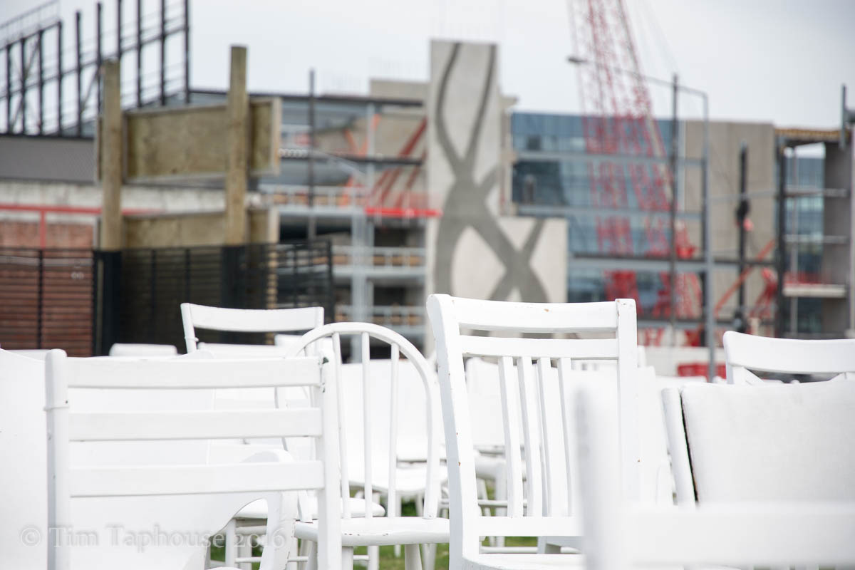
185 Empty White Chairs - Earthquake Memorial, Christchurch
Comments
I'd love to hear what you think...
email your comments